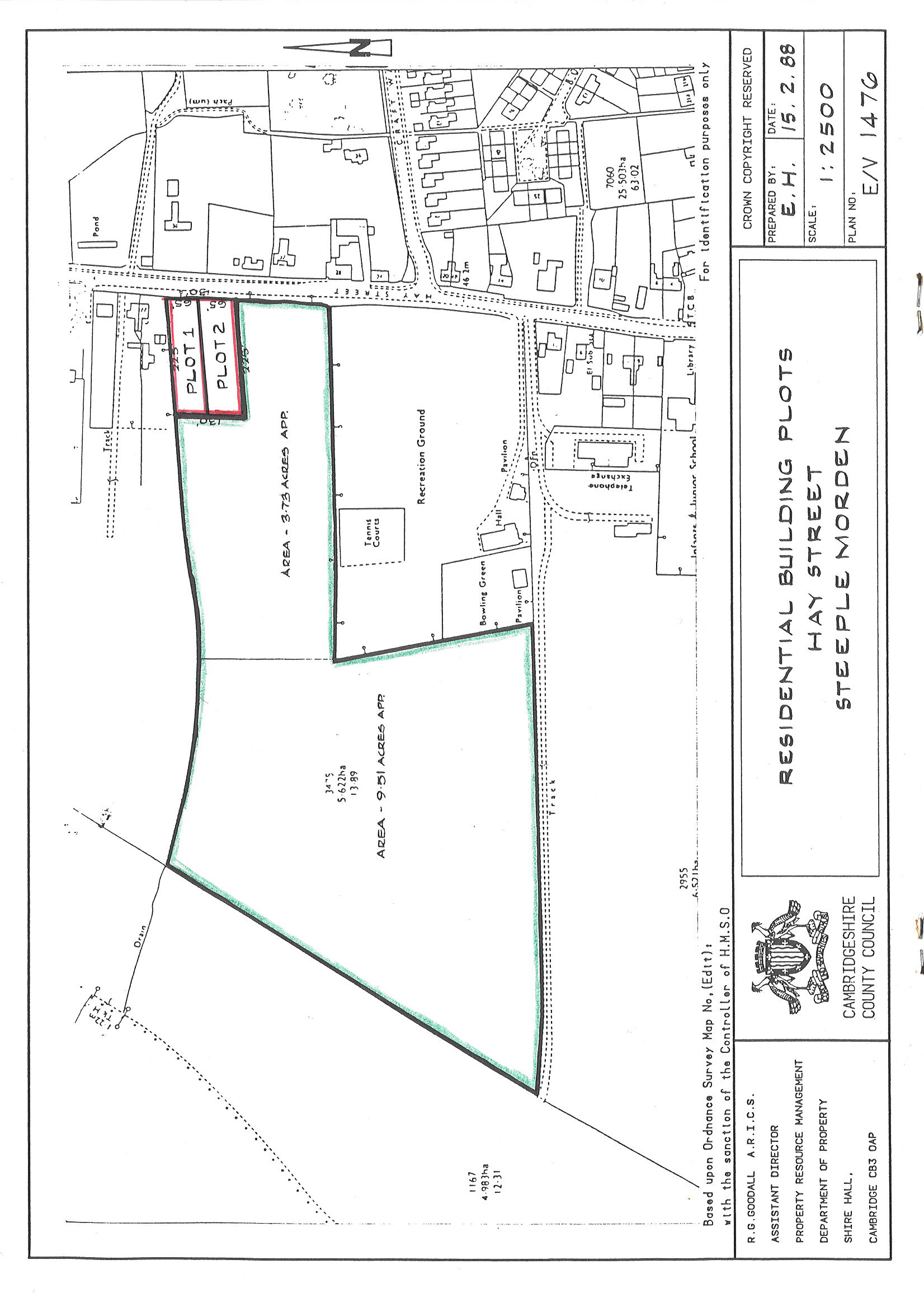
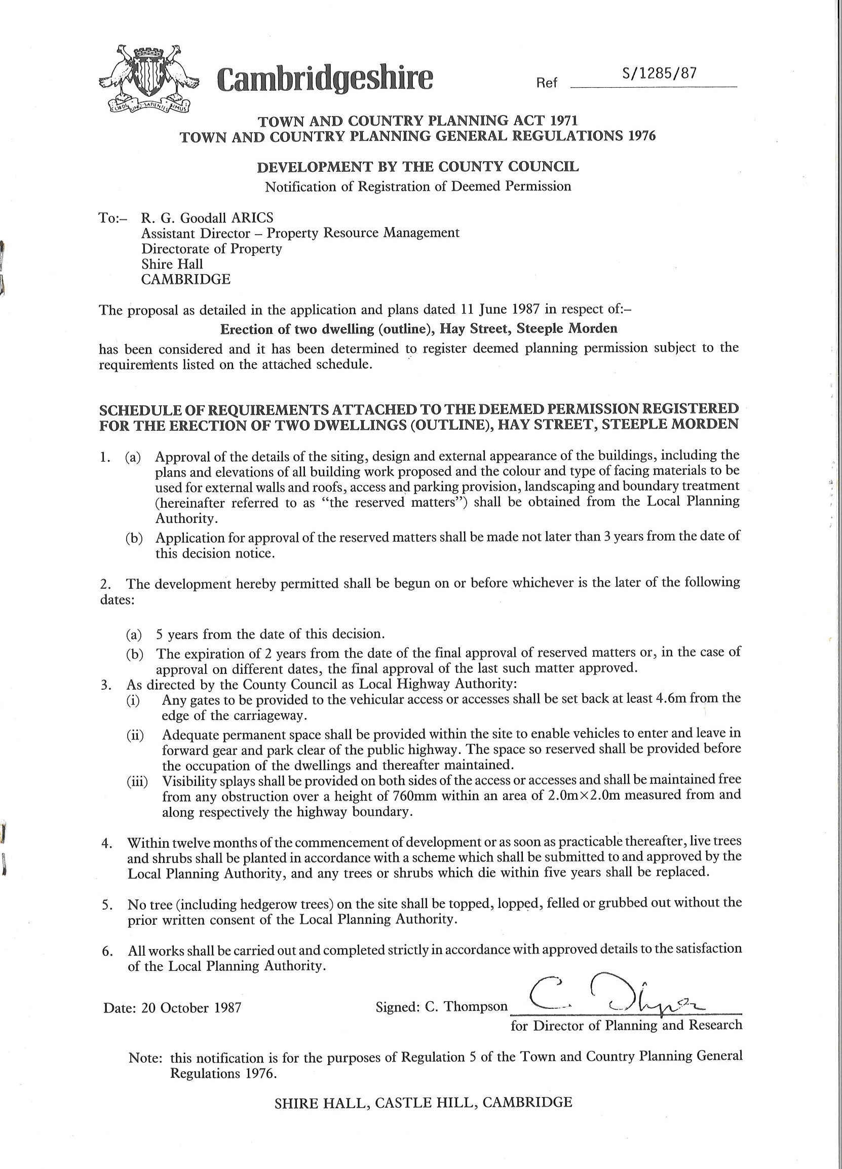
These two plots were land that was part of the Cambridgeshire County Council small-holdings. In return for the Parish Council supporting planning permission for two houses on these plots, the County Council sold the remaining agricultural land for a modest price to the Parish Council as an extension for the Recreation Ground and creation of the Conservation Area.
No 47 is shown in the Google Street View image.
Click on any image below to view. Click again to enlarge. Drag to view whole image.
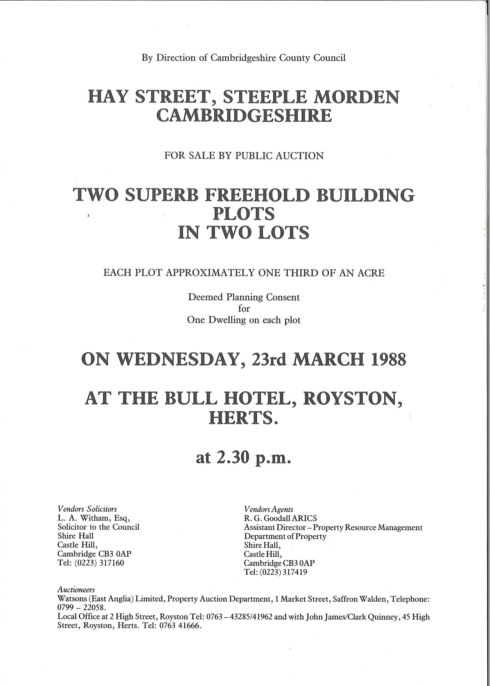
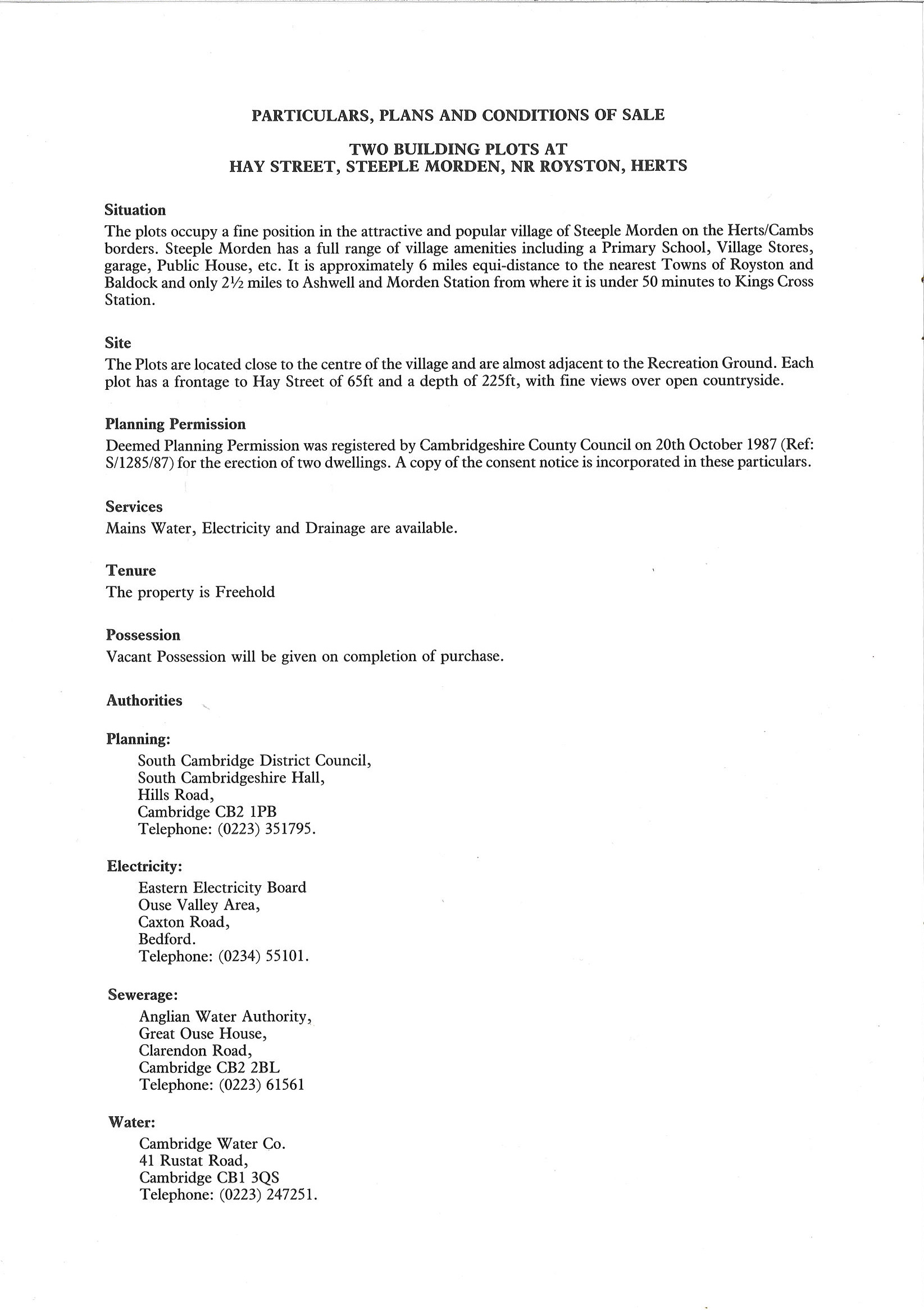
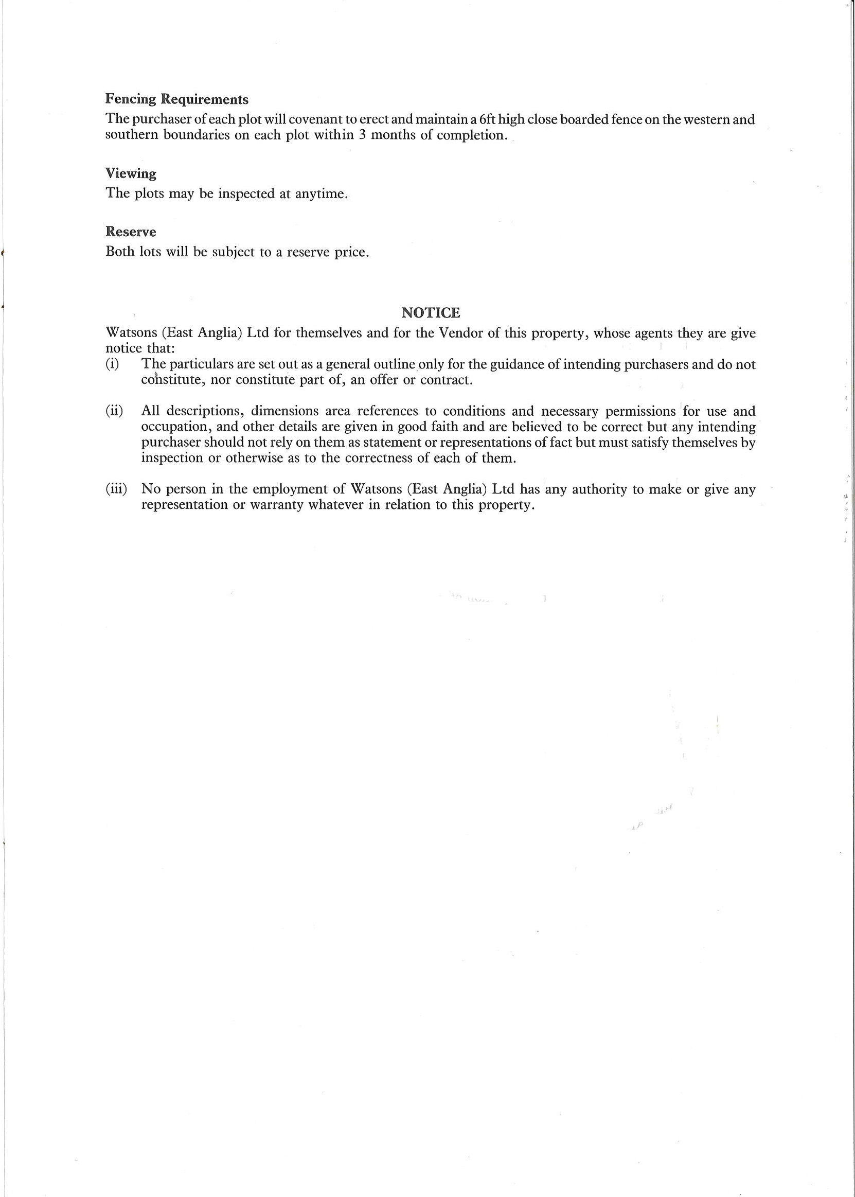
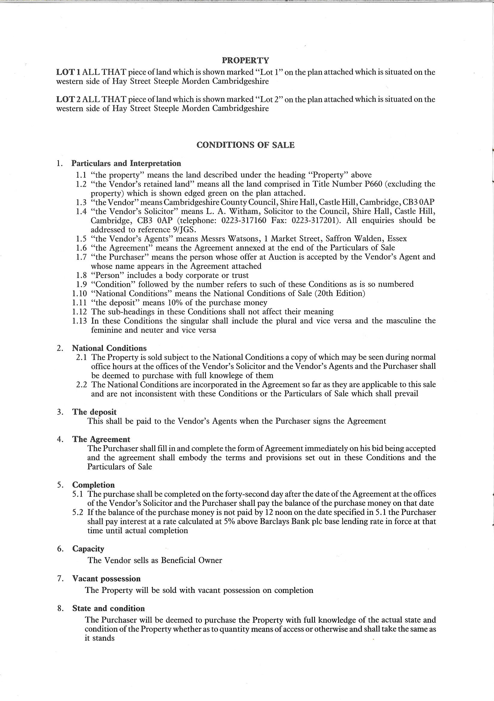
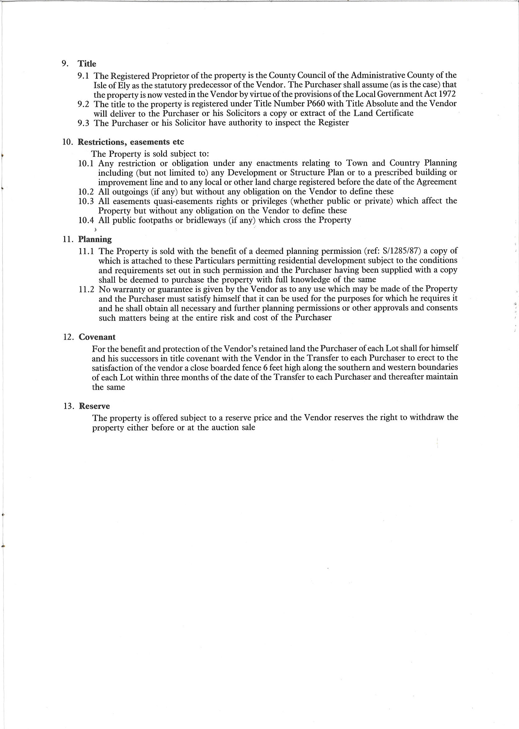
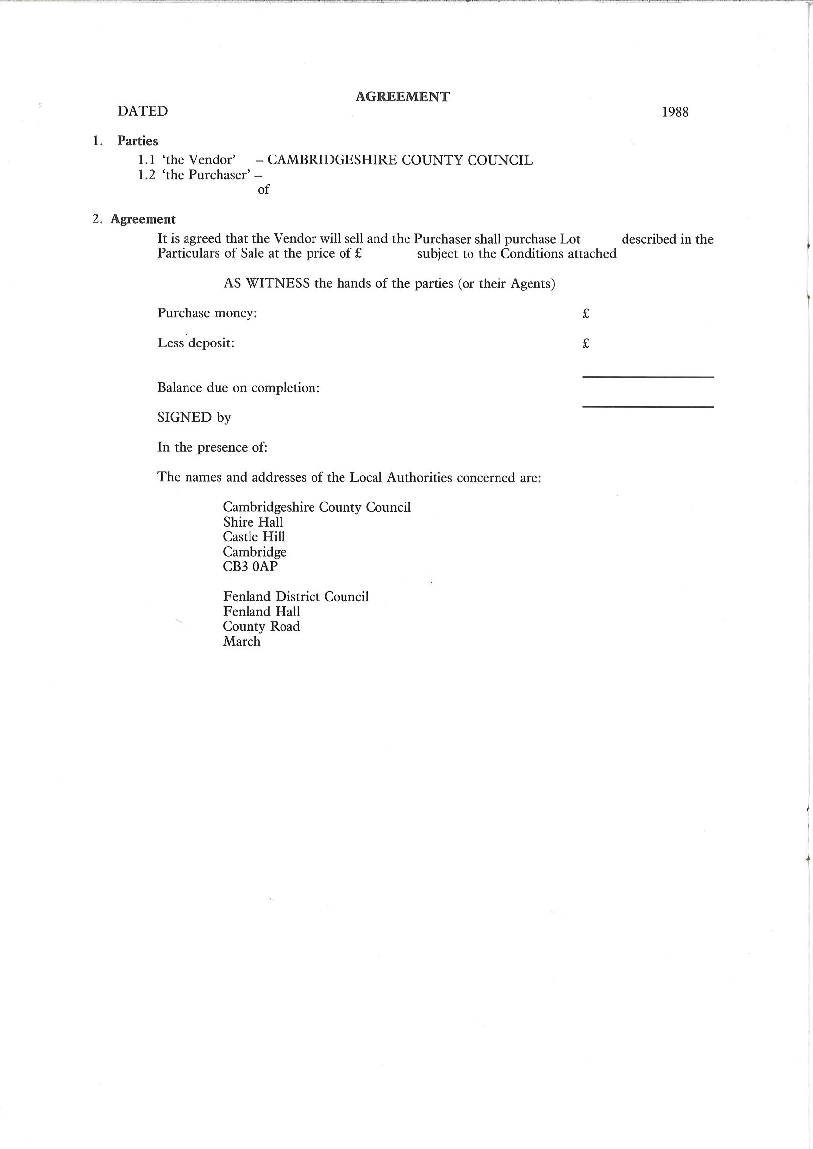
Sale Particulars 1988
Last Updated on January 9, 2024