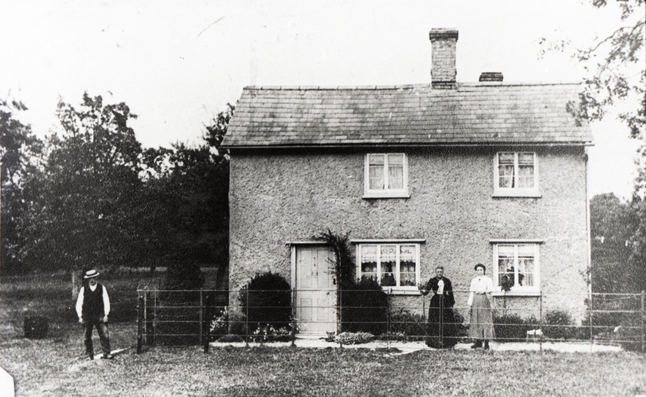
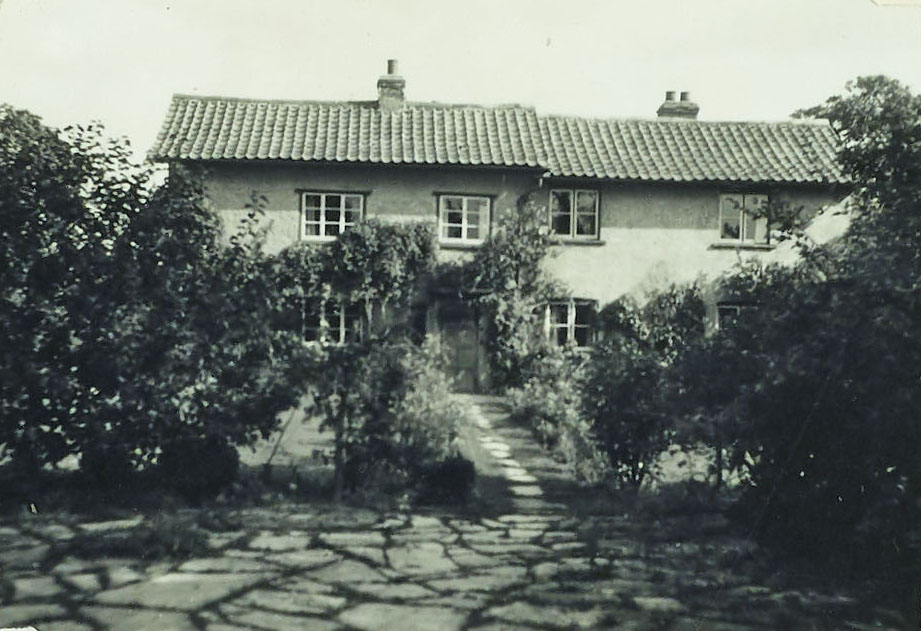
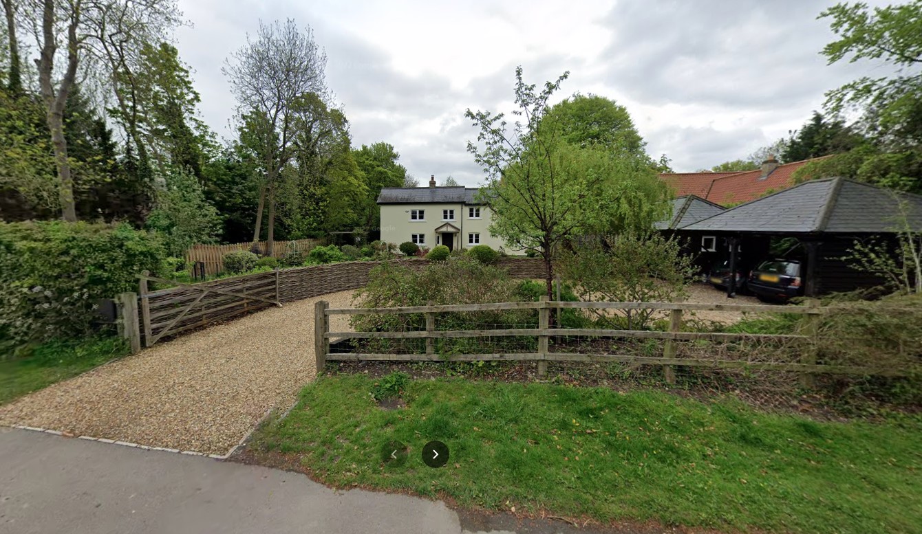
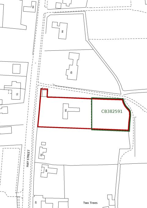
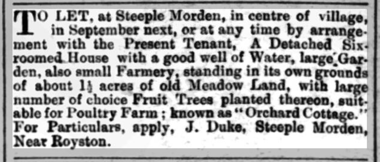
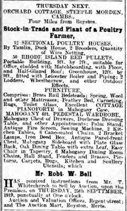
58 Hay Street, Orchard Cottage
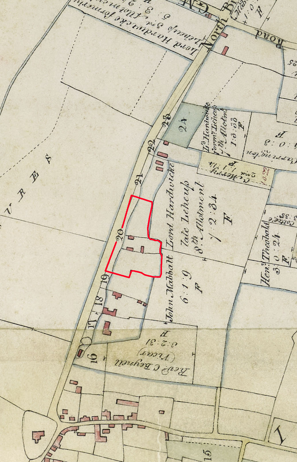
On initial observation, Orchard Cottage appears to be an ancient small farmstead, with dwelling and buildings on the central plot of three contiguous closes of land, which remained largely unchanged until modern times. However, farmstead and dwelling arrived relatively recently. The southernmost close of land was known as Tottles Close, with numerous variations on that name and spelling over the years. It appears to have been named after the Total family, who were in the parish in 1576. When the Earl of Hardwicke bought the Steeple Morden estate in 1755 it was described as “three half acres” of arable land called Tattoos lying in the Croft. At 1.5 acres Tottles/Tattoos would have embraced the middle plot as well as the southernmost one. If the descriptor “arable land” applied to the whole 1.5 acres, this would suggest there was no dwelling or farmstead in 1755 and these came later. Currently there is no evidence of when construction started on this plot, although the Enclosure Map 1808-1817 depicts dwelling and buildings on the central parcel No 72 by 1808.
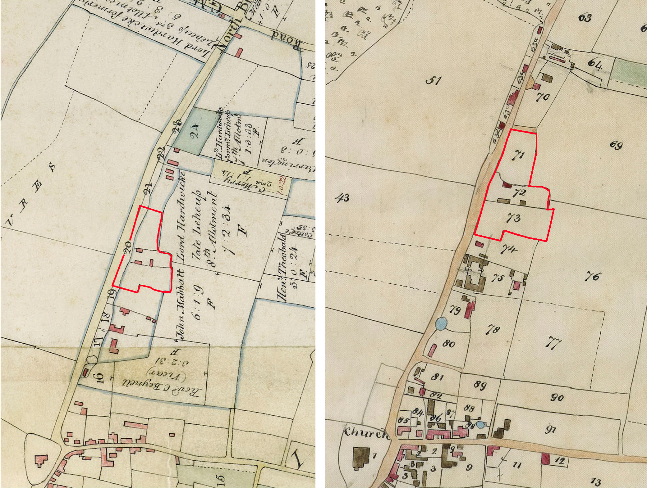
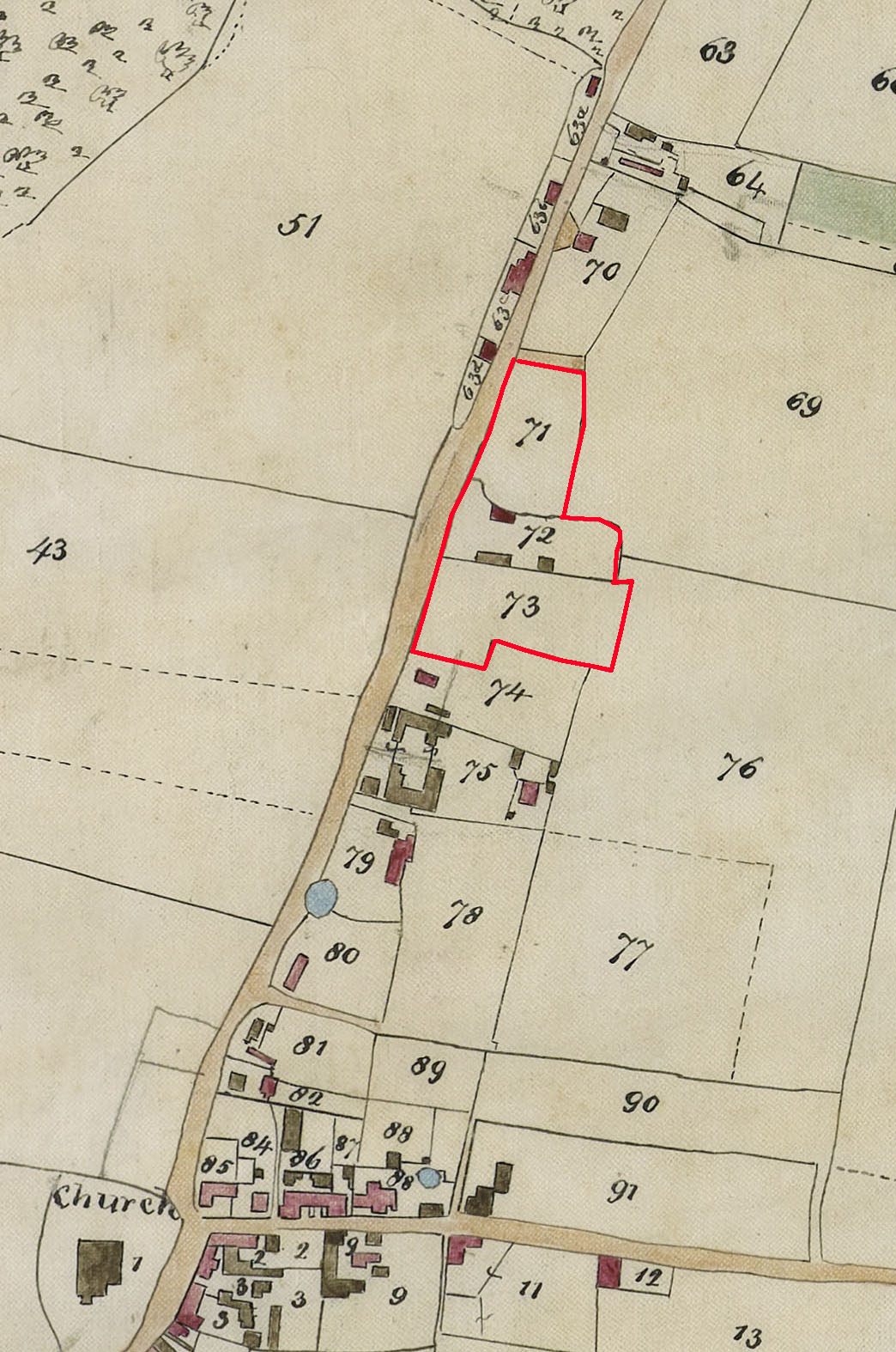
Enclosure Map 1817 on left and Tithe Map 1839 on right. 58 Hay Street Orchard Cottage plot(s) outlined in red.
In the Tithe Apportionment of 1839 the three plots Nos 71, 72 and 73 totalled 2a 1r 19p in area. It should be remembered that, 1r 17p taken from the Highway had been added at time of Enclosure, as shown on the map above. Buildings are shown the central plot, No 72 on the Tithe Map and this is fundamentally the plot that 58 Hay Street sits on today, although some back land was detached in 2013/14 and a modern barn style dwelling built on it.
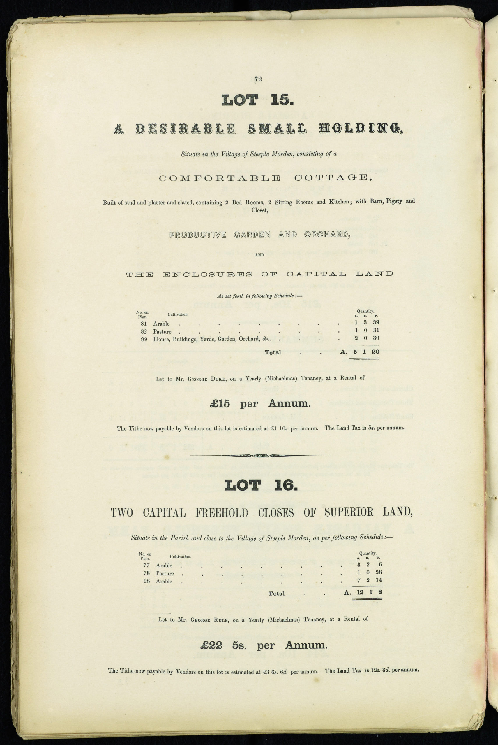
Ownership of all three plots rested with the owner of the Steeple Morden estate, which from 1755 was Earl of Hardwicke, as part of his Wimpole Estate. This was split up and sold at auctions in 1892 and 1911. The three plots were offered in 1892 as part of Lot 14, which sold to the sitting tenant John Duke for £370. The full description is given in the Sale Particulars below. Duke’s ownership was a slow catalyst for the three original closes to be gradually split over the years into six plots of land, with a dwelling on each. Clearly, the humans of the present have pushed out any livestock of the past.
PAGE IN PREPARATION
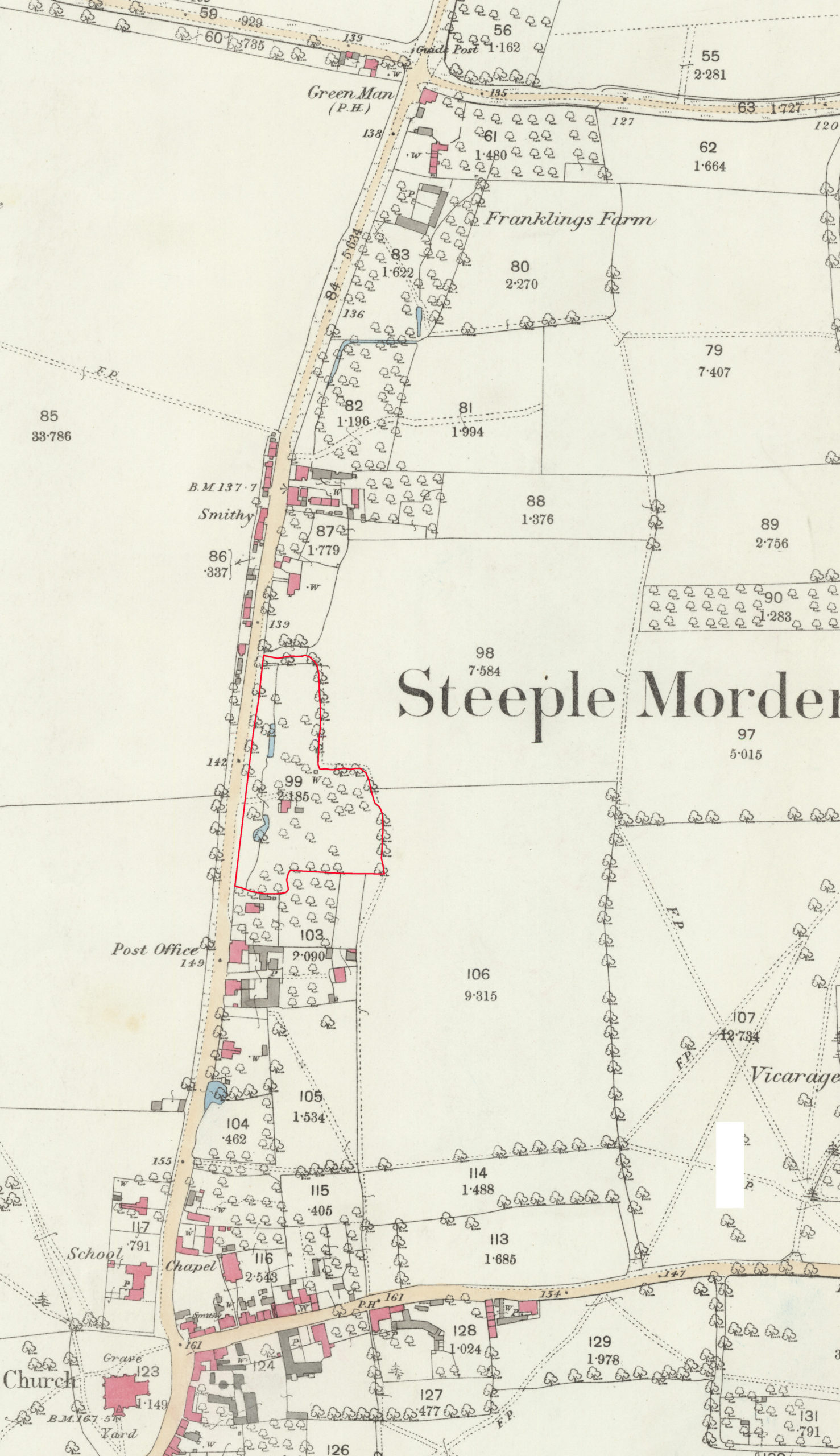
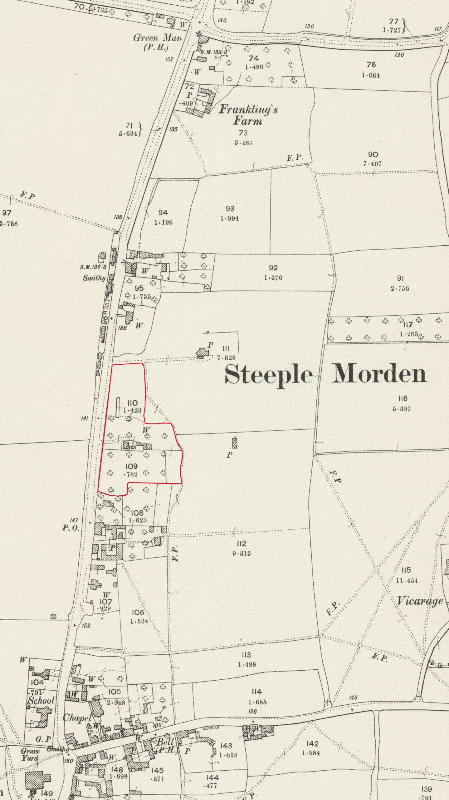
Click on any image below to view. Click again to enlarge. Drag to view entire image.
Photographs
Maps
Sale Particulars & Lettings

Last Updated on January 24, 2025