9 Brook End, Glendale
Today, No 9 is an extended red-brick house on a plot of land, which lies astride Cheyney Water a stream rising at Gatley End by Ashwell Street and flowing north, through Brook End, until in the north of the parish it turns east into Abington Pigotts parish, where it is known as Mill River and onwards through Shingay and Wendy, where it becomes North Ditch and joins the River Cam just north of Wendy. Historically, the flow of water would have been far greater than we experience today and was sufficient to power at least two water mills, one of which was yards from 9 Brook End.
In addition to industrial power, the stream was a source of water to sustain life, both human and animal. Discrete areas of land along its course would be fenced off to provide safe pasture for livestock or a building plot for a dwelling with a small farmstead or decent garden to offer a degree of self-sufficiency. No 9 may have begun as two plots, one each side of the stream, until they were joined as one. The eastern part would have likely been historically water logged, with any dwelling erected on the rising ground to the west. It is not recorded when such enclosing or fencing of this plot took place, but it was likely in the late 1500s or early 1600s.
Equally unknown is the identity of the person, who originally fenced this modest land holding as his own. Possibly it was one of the Theobalds family, of which first mention in Steeple is in 1597 and by 1622 they were regular residents. They were an extensive and long-surviving Hertfordshire centred family, which was economically active over quite an area and were acquiring land in Steeple by 1640. Their association with this plot is recorded first in 1798, but likely it was earlier. For interest, the last Theobalds in the village died in 1891.
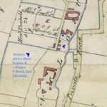
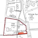
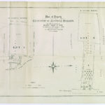
Enclosure Map 1808-1817 9 Brook End Glendale
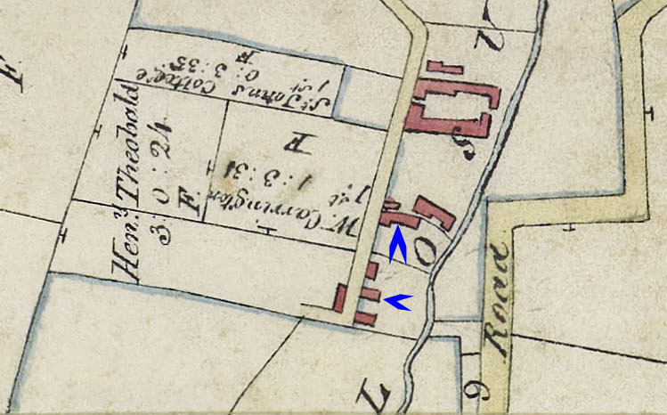
There are a number of buildings depicted on the plot, positions indicated with blue arrows. There would appear to be houses on north boundary and towards the south of the plot. Note that no roadway or bridge is shown joining the two sides of the stream, either as a public road or privately on the 9 Brook End plot. Ownership of the plot is not given in the Enclosure Award & Map, although adjoining there is an L shaped allotment of 3a 0r 24p to Henry Theobalds and stated to be in lieu of freehold open field lands and rights of common. This is the only allotment to Henry and it is reasonable to assume it was deliberately located close-by his dwelling.
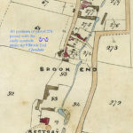
Tithe Map 1839 9 Brook End Glenside
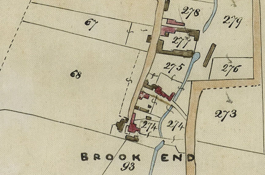
All the portions, shown as joined by the stretched S marks, go to make up plot 274. Generally, red buildings are dwellings on this map and are shown north boundary and to the south on the plot, in keeping with the Enclosure Map. There is now a public road and bridge joining the two sides of the stream, running between Theobalds' plot 274 and 275, which is Brook Cottage opposite. Also the two parts of plot 274, either side of the stream, are joined by a driveway with bridge. Plot 274 is shown as owned by Henry Theobalds and occupied by himself and others, cottage etc 1a 3r 0p and similarly he is owner of plot 68 The Croft arable land now measuring 5a 0r 31p, as the Carrington land adjoining his allotment in the Enclosure Award has been bought.
Owners and Occupiers
The earliest record known to date is the 1798 Land Tax Return. Unfortunately, the main extant series of Land Tax does not begin until 1810. The challenge with the Theobalds is working out the different individuals, as the names William and Henry were used often across inter-related families and generations. They generally followed a trade : carpenters, bakers and shoemakers, sometimes combined with small-holding. Five acres of land plus other rented allowed them the mantle of farmer. The arrival on the scene of farm labourer son in law John Franklin in 1862 would likely have increased the attention to farming. The property itself is described at various dates as cottage and garden or house/cottage and land.
From the Land Tax Returns it seems likely that the land from Wm & Ann Carrington was acquired in 1835 by Henry Theobalds of Guilden Morden. He owned the Brook End property and his nephew William Theobalds was tenant. On his death in 1843 Henry left the Brook End property to William, although he had to wait until the life interest of Rebecca, Henry’s widow, expired in 1857. For some reason, William sold the property on 3 May 1867 to John Pearmain for £750. William remained as tenant until his death on 11 November 1869. Shortly after, on 22 December 1869, John put the property up for auction.
The property was sold to John Hart of East Hatley for £790 and John Franklin and family remained as tenants at Brook End. John built a larger farming enterprise by renting land from the Wimpole Estate. His holding came to be known as Franklin’s Farm after a farm yard was built in Hay Street on part of the rented land, as there was insufficient space at Brook End. He lost the bulk of the Wimpole Estate holding, when the Estate was dispersed in 1892. John was now more often described as market gardener, a route that a number of farmers took as the agricultural depression restricted the profitability of traditional crops. By 1905 J Franklin & Son were standing at the Covent Garden wholesale market. John died in 1917, leaving the property and business to his son William and daughter Mary Ann. William got married and moved to Home Farm and Mary Ann remained living at Brook End until 1923.
| Dates | Owners | Occupiers | Notes |
| 1810-1844 | Henry Theobalds | Himself | |
| 1845-1848 | Mrs Theobalds | ? | |
| 1849-1857 | Mrs Theobalds | William Theobalds | |
| 1858-1861 | William Theobalds | Himself | |
| 1862-1863 | William Theobalds | Himself & Mrs Theobalds | |
| 1864-1866 | William Theobalds | Himself | |
| 1867 | William Theobalds | Himself (senior) | |
| 1868-1869 | William Theobalds | Himself | Assumed |
| 1870-1897 | John Hart of E Hatley | John Franklin | |
| 1898-1904 | John Franklin | Himself | |
| 1904-1917 | Franklin & Son | John Franklin | |
| 1918-1923 | Franklin & Son | Mary Ann Franklin | |
| 1924-1928 | ? | ? | |
| 1929-1932 | Rosalind Catford | Herself | Milk Round |
| 1933-1936 | ? | ? | |
| 1937-1955 | Frederick William Ward | James Frederick Mayhew Ward | |
| 1955-1970 | James Frederick Mayhew Ward | Himself | |
| 1970=1974 | Howard Edwin Day & Lillian Rose Day | Renovation | |
| 1974-1994 | Howard Edwin Day & Lillian Rose Day | Themselves | |
| 1994-Today | Nigel Jeremy Viney & Fiona Margaret Viney | Themselves |
Housing Estate?
Even back in the early 1800s it appears that there were a number of dwellings on this plot, although it is not possible to be exact. However, a shake-up of the Land Tax Returns in 1867 saw a new entry Owner William Theobalds, Occupier William Newlin(g) & others, 6 cottages and land. A similar entry appeared in 1870, with Owner changed to John Hart, same occupier and this continued to 1897, when John Franklin bought the whole modest estate and they were rolled into his new comprehensive entry.
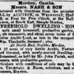
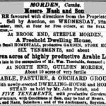
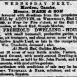
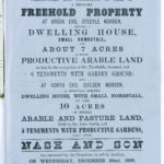
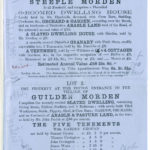
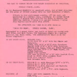
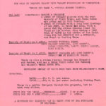
It is challenging to identify all the tenants from the Census Returns, but the 1869 Sale Particulars reproduced below provide a fuller description. In addition, to the main residence there were “a slated dwelling house with garden held by Mr Newling”, “a recently erected plaintiled Granary with fruit store, readily convertible into two tenements let to J Franklin”, “a tenement held by — Williams & 4 cottages with gardens etc in respective occupations of — Huffer, — Hammond, — Gray and — Morris. In the i871 Census the tenants appear as Mary Ann Williams, William Newland (rather than Newling), James Huffer, Mary Hammond, James Huffer junior in place of Gray and John Morris. These dwellings and occupants were all located in the modern garden of 9 Brook End.
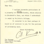
By 1931 all the residential buildings apart from the main house have been re-purposed or demolished. In the sale particulars for that year numerous outbuildings are listed and extensive orchards. This was probably when Rosalind Catford sold up and moved to Shingay Gate Farm.
PAGE IN PREPARATION
Click on any image below to view. Click again to enlarge. Drag to view entire image.
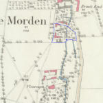
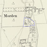
Photographs & Maps
Sale Particulars 22 December 1869 & Newspaper Advertisements. Sale Particulars 1931
Last Updated on August 9, 2025

