Parish Pits
If you needed materials (other than timber) to build or repair your cottage or make good the pot holes in the roadway out front, where would you go? Well, you could help yourself for free to Gravel, Stone/Chalk or Clay from the Parish Pits. These were resources held on behalf of the parish or parishioners and any resident was allowed to take them. The Surveyors of the Highways for the parish were heavy users, as each parish maintained its own roads. Surveyor was a voluntary role, usually two in Steeple Morden and they were elected each year by the Vestry, fore-runner to the parish council.
Enclosure 1808-1817
The Pits would have become established born out of ancient rights, until later they were recorded and more formalised. All three pits were within the bounds of the ancient large open field, known as Church Field and they featured in the Enclosure Award and Map. In the Award the entry is:
“PUBLIC PITS allotted to the Surveyors of the Highways
Stone Pit 0a 2r 0p in Church Field. Bordered on West by Samuel and Eleanor Walbey, on East, South and West by allotment to Earl of Hardwicke. Herbiage to Hardwicke.
Gravel Pit 1a 0r 0p in Church Field. Bordered North, East, South and West by allotment to Earl of Hardwicke. Herbiage to Hardwicke.
Clay Pit 1a 1r 5p in Church Field. Bordered on North by allotment to Samuel Walbey, on East and South by allotment to Churchwardens and Overseers of Steeple Morden, on South private road and on West Guilden Morden. Herbiage to Churchwardens and Overseers.
Use by Surveyors of the Highways and owners and occupiers in Steeple Morden.”
Access to the Pits were by Private Carriage Roads, which were laid down as part of the Enclosure Award:
“No 4 Private Carriage Road 20ft wide, branching out of Odsey Way Road and proceeding East to allotment for Public Stone Pit and then across said allotment and allotment to Earl of Hardwicke and ending at allotment for Public Gravel Pit.”
and for Clay Pit:
“No 5 Private Carriage Road 20ft wide, branching out of Ashwell Road at West end and proceeding South by Guilden Morden and ending at allotment for Public Clay Pit.”
These roads could be used by all owners and occupiers in Steeple Morden having occasion to use same and maintenance and repair responsibility of Surveyors of the Highways, with Herbiage was allotted to adjoining owners.
Tithe Apportionment 1839
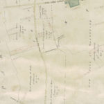
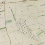
The Stone Pit is represented by a dotted square connecting with the track to the Gravel Pit, which is a named rectangle with hatched boundaries and both within a plantation of trees, obviously created since the time of Enclosure. The plantation is named Morden Heath Plantation and numbered 204a and listed in the Apportionment as owned by the Earl of Hardwicke and he is also the occupier. Described as woodland, the extent of the plantation is 40a 1r 10p, so Hardwicke has created quite a swathe of woodland from his large arable allotments surrounding it.
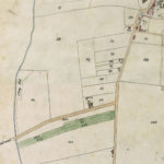
The Clay Pit is not numbered but is drawn and named on the map, with access roadway shown also. Adjoining is plot no 34 for which the owners are the Churchwardens and Overseers and the occupiers are the Poor of Steeple Morden and described as Town Land. This later became the Town Land Charity land, The extent of this is given as 7a 1r 4p.
Wimpole Estate Sale 1891-92
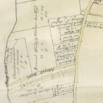
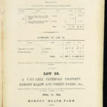
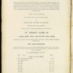
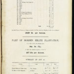
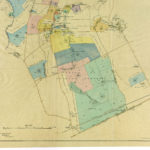
Morden Heath Plantation was part of Lot 25 Morden Heath and Thrift Farms in this auction sale and was OS plot 237, with extent as 34a 0r 17p and shown as in hand. Neither Stone Pit or Gravel Pit are mentioned in the lot description. However, on the map the Stone Pit is depicted in the same location and now titled Chalk Pit. Lot 25 did not sell and was bought in.
At the 1911 Wimpole Estate Sale the Morden Heath and Thrift Farms were not offered for sale as they had been bought by private treaty in 1900 by John Inns of Stevenage..
Agreement with Naturalists Trust 1962
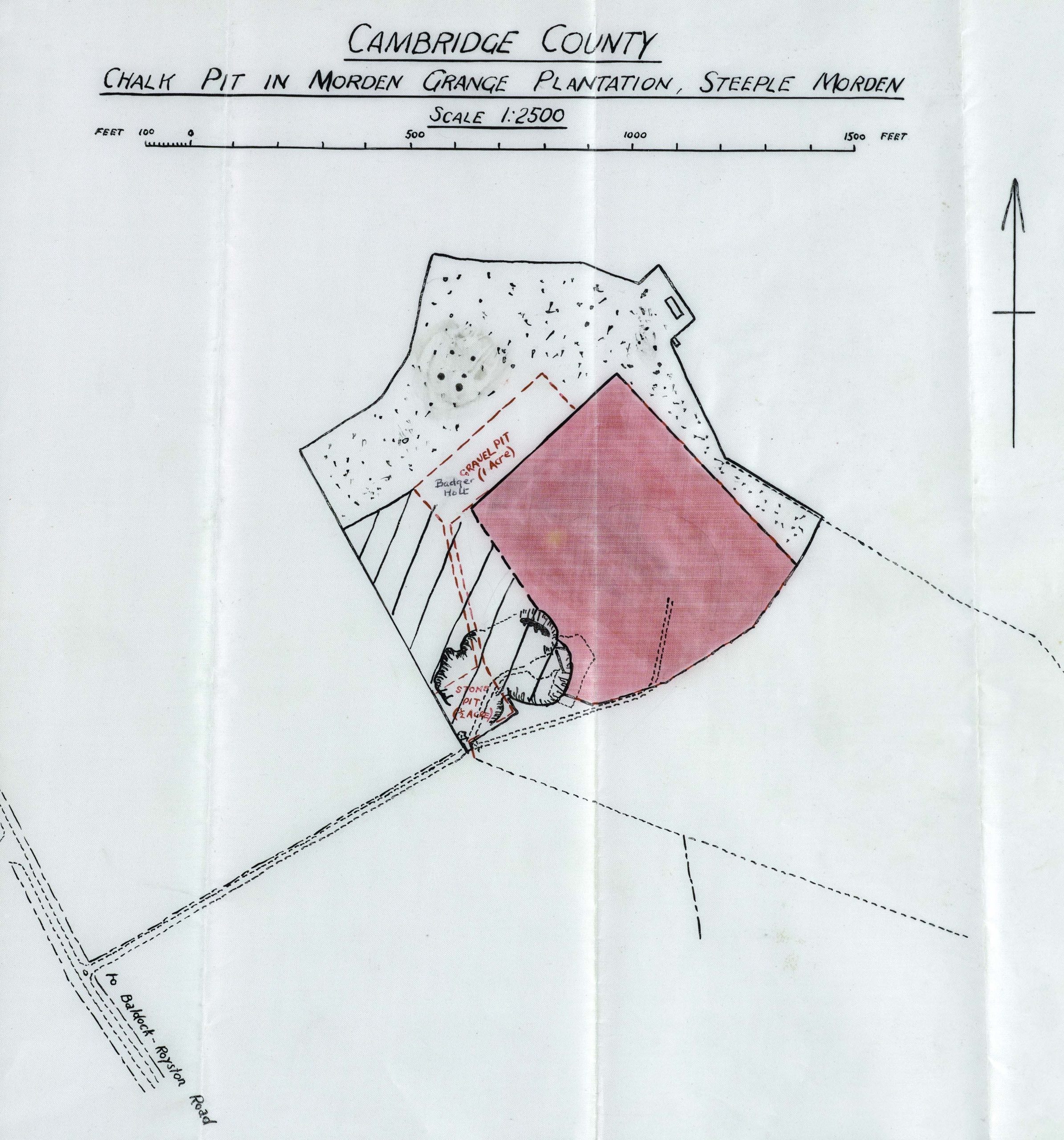
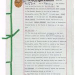
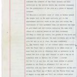
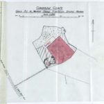
On 26 February 1962 Steeple Morden Parish Council and the Cambridgeshire and Isle of Ely Naturalists Trust Ltd signed an agreement for the Trust to manage a Chalk Pit in pink on map, situate in Morden Heath Plantation and vested in the Council or otherwise under their control or disposition. In addition to the care of the site the Trust would erect permanent boundary markers and explanatory notice board. Particular mention was made of a badger holt and the Stone Pit and Gravel Pit were marked on the map. The Agreement could be ended with twelve months notice by either party. It is assumed that this Agreement is no longer in place, although the termination date is not known. It is also unclear how the Parish Council had control of this extent of land, all of which is now subsumed within the chalk works,
Modern History
Gravel and Stone Pits
Commercial extraction of chalk at the site of the Parish Stone Pit began in 1947 undertaken by Melbourn Whiting Company, which over time became Croxton & Garry and then Omya. Having emptied the hill of chalk, Omya had to begin extracting from a field on the south transporting the chalk by conveyor belt to the treatment plant. With the increase in the scale of the works, the Parish Pits appear to have been obliterated, with no account made of the Parish rights over the Pits. How this occurred appears not to be recorded.
On 24 June 2022 and 11 June 2021 Omya sold the chalk works and adjoining land to B P Mitchell Haulage Contractors Ltd. There was no mention of the Parish Pits, which have gone for ever.
Clay Pit
Its is uncertain what use was made of the Clay Pit in the 20th Century. From 1894 with formation of the first Parish Council ownership would have vested in the new council. It would appear the adjoining Town Land Charity lands also transferred at the same time to the Council from the Churchwardens and Overseers, so both plots would have run together and be viewed as one. The 20ft Private Road used as access remained as a 3ft footpath.
In 2006 the Town Land Charity Trustees and the Council decided to sell the land to David Banner-Eve and Crown Central Developments Ltd of 7 Old Park Lane, Mayfair, London. The bulk of the land was sold on to Asset Land Investment of Reno, Nevada, USA, which in turn split the land into 1 metre squares, which were sold as investment land plots, with the hope of future development increasing the value.
Maps
Wimpole Estate Sales 1891-92 & 1962 Naturalist Trust Agreement
Last Updated on October 27, 2024

