Pain’s Farmstead, Church Street
There was an ancient farmstead in Church Street, with frontage extending into Cheyney Street. Over the years it has evolved into:
1 & 3 Church Street
5, 7, 9, 9a, 11 & 13 Church Street
2 & 2a Cheyney Street
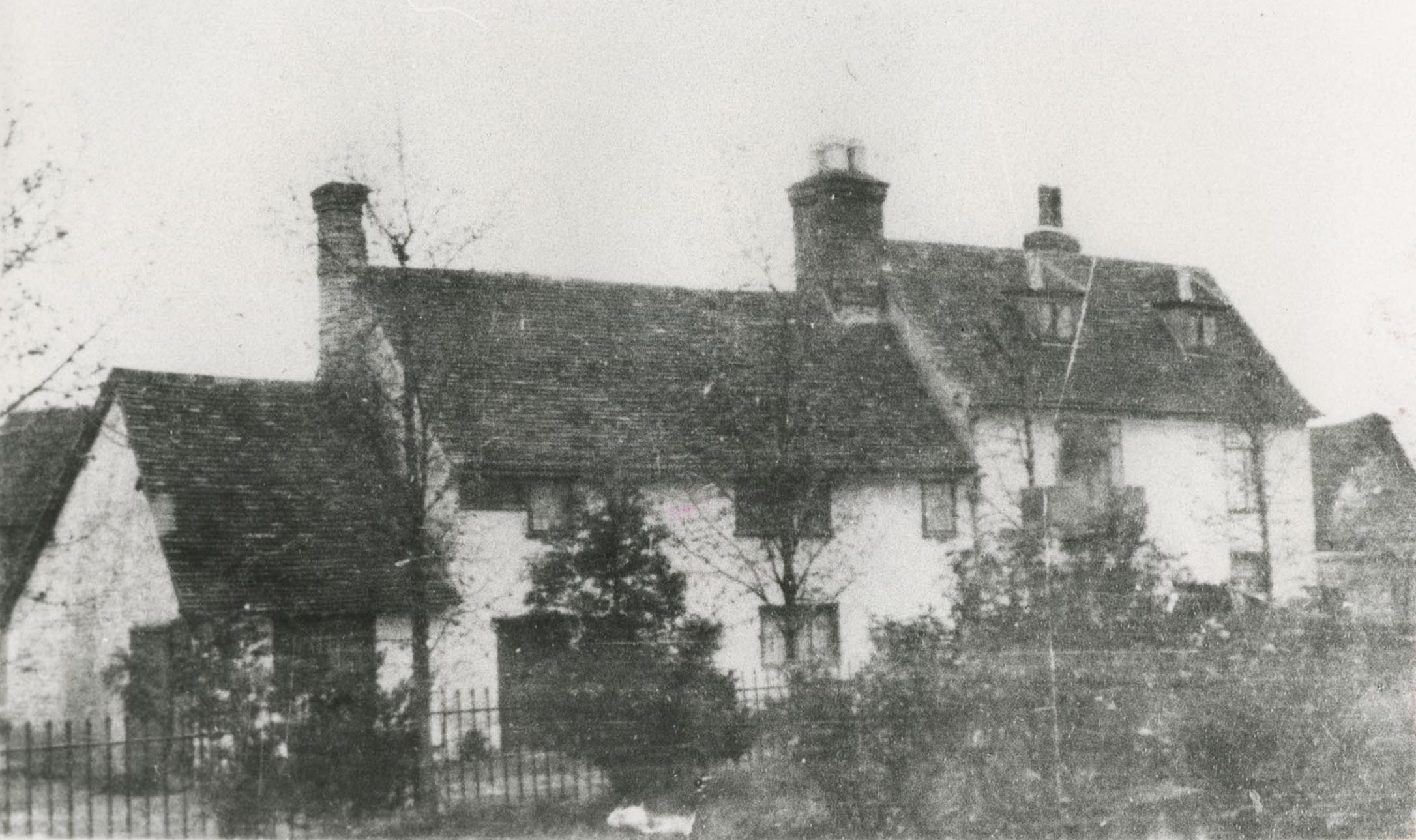
From about 1901 to 1951 it also included The Priory, the old farmhouse under a new name and separate ownership. After it burnt down in December 1951 the land was merged back into the original plot.
Pain’s Farmstead
Pain’s Farmstead is a given name used here, named after the Pain family, who were long term owners of this property.
PAGE IN EARLY STAGES OF PREPARATION
Enclosure Map 1816
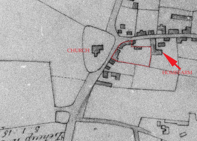
The boundary of the Farmstead is shown edged in red
Tithe Map 1839
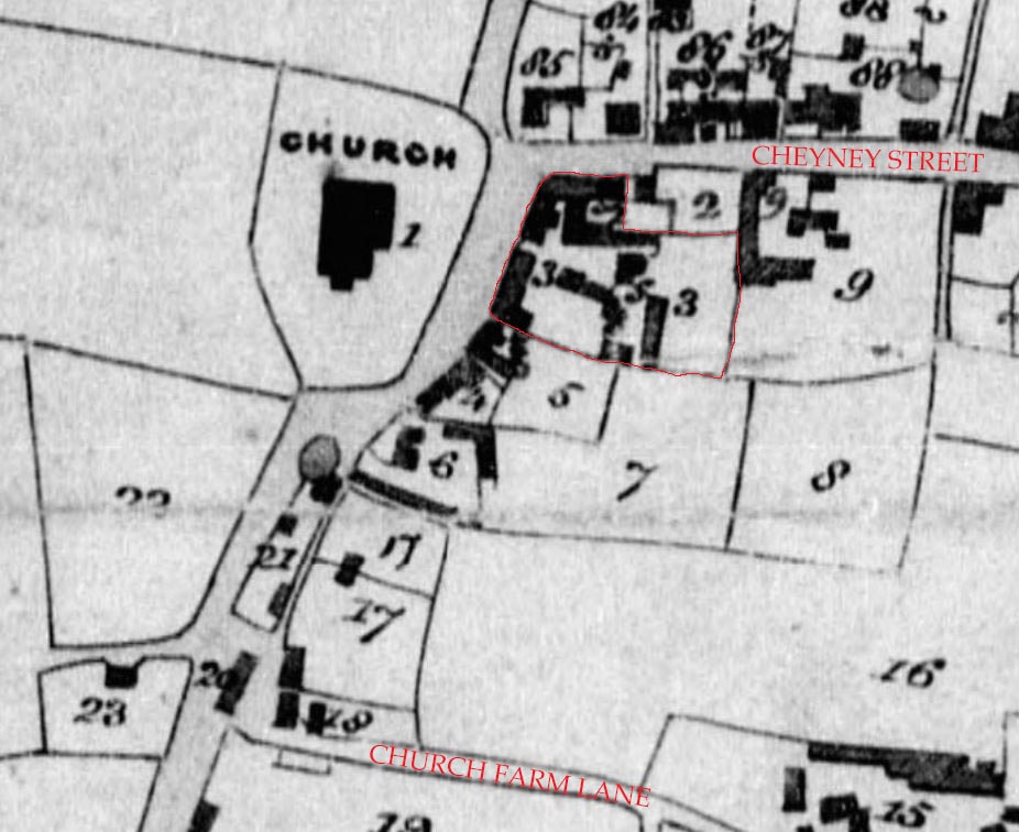
The Farmstead is plot 3 and the boundary is edged in red.
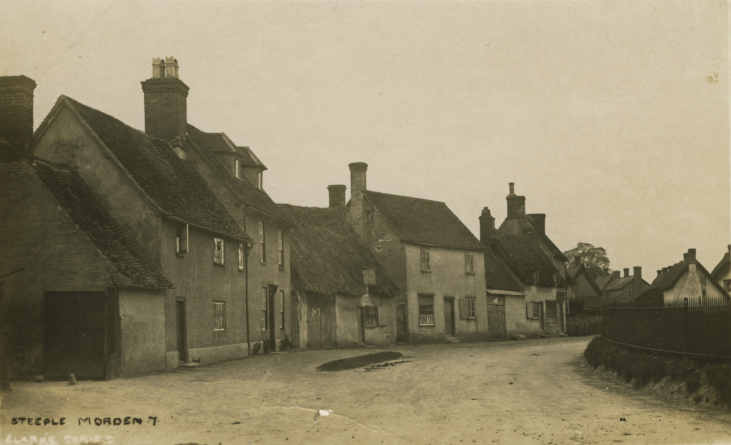
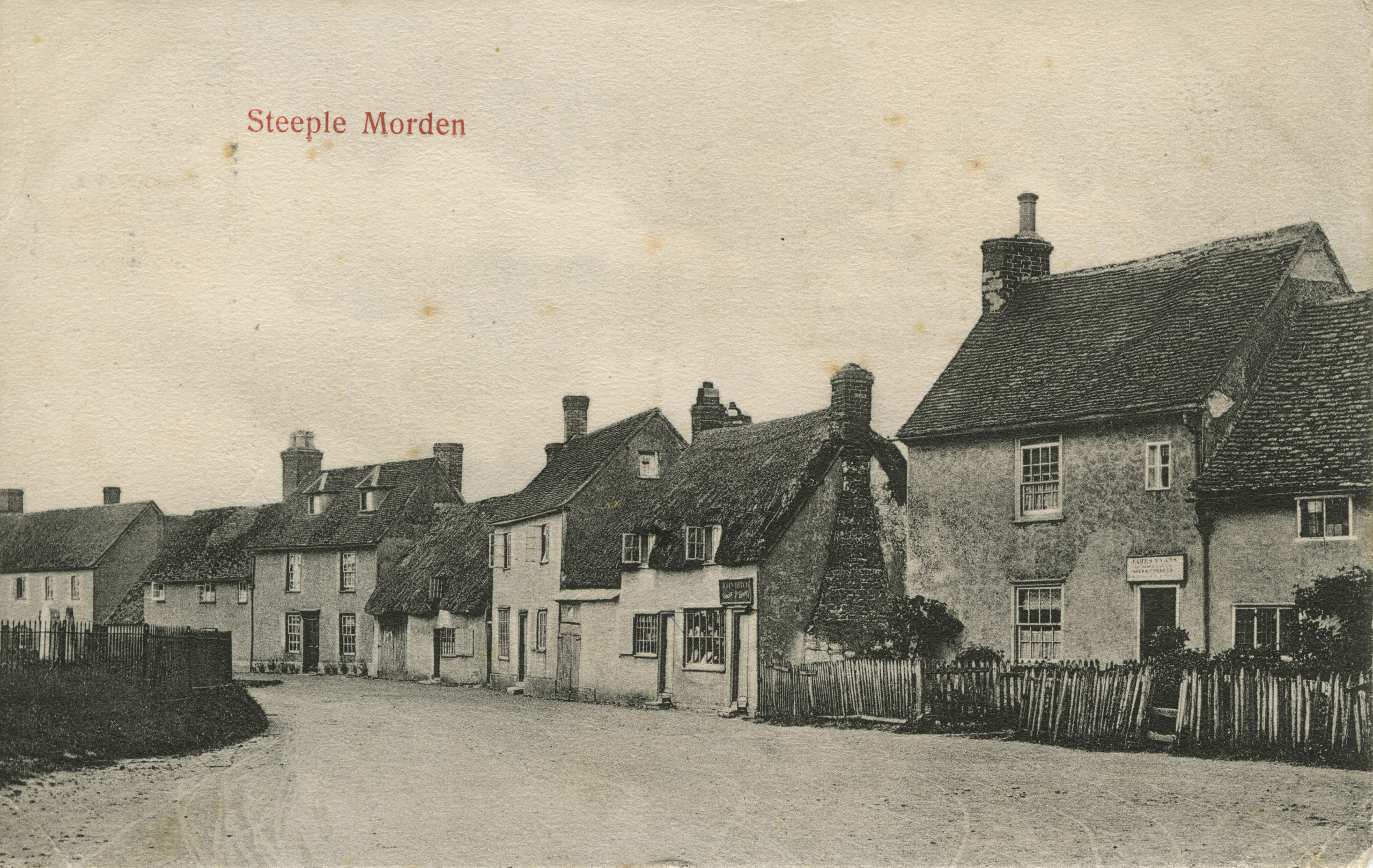
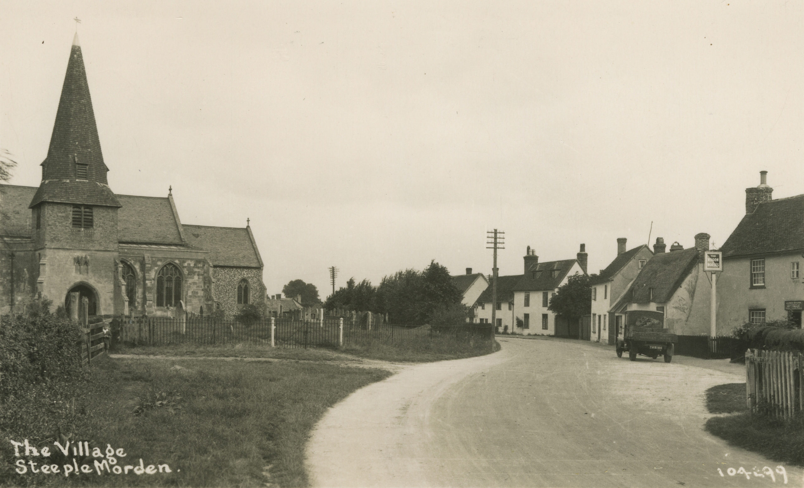
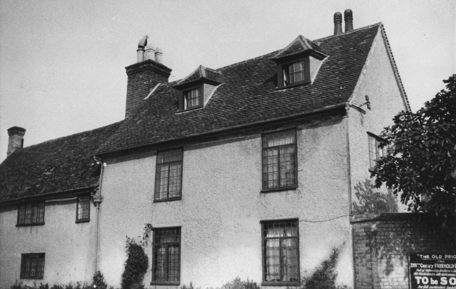
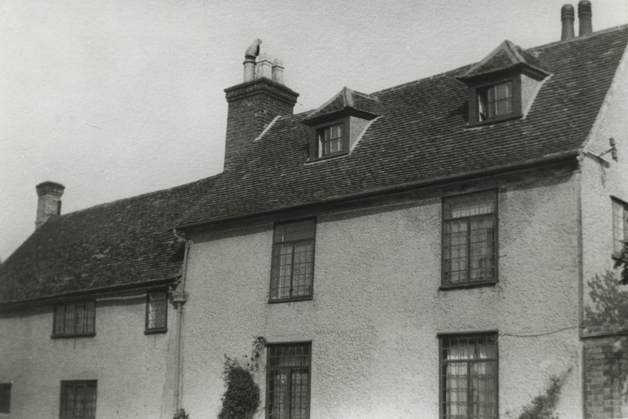
Photographs

Last Updated on October 27, 2024