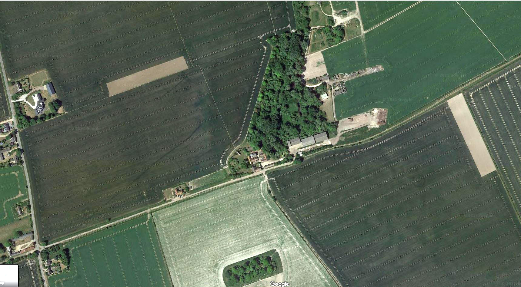
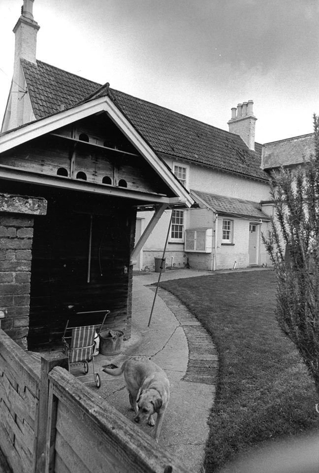
Gatley End Farm
Often called Upper Gatley to distinguish it from its near neighbour Lower Gatley, this farm sits close to a rising spring, which is the source of Cheyney Water (previously Gatewell), which runs directly north past Lower Gatley. Gatley End appears to have been the name of the locality or hamlet. where there were dwellings and small enclosed fields from the 1200s. Erection of a new dwelling is recorded as late as 1725 and there were were still 14 dwellings at Gatley End in the early to mid 1800s.
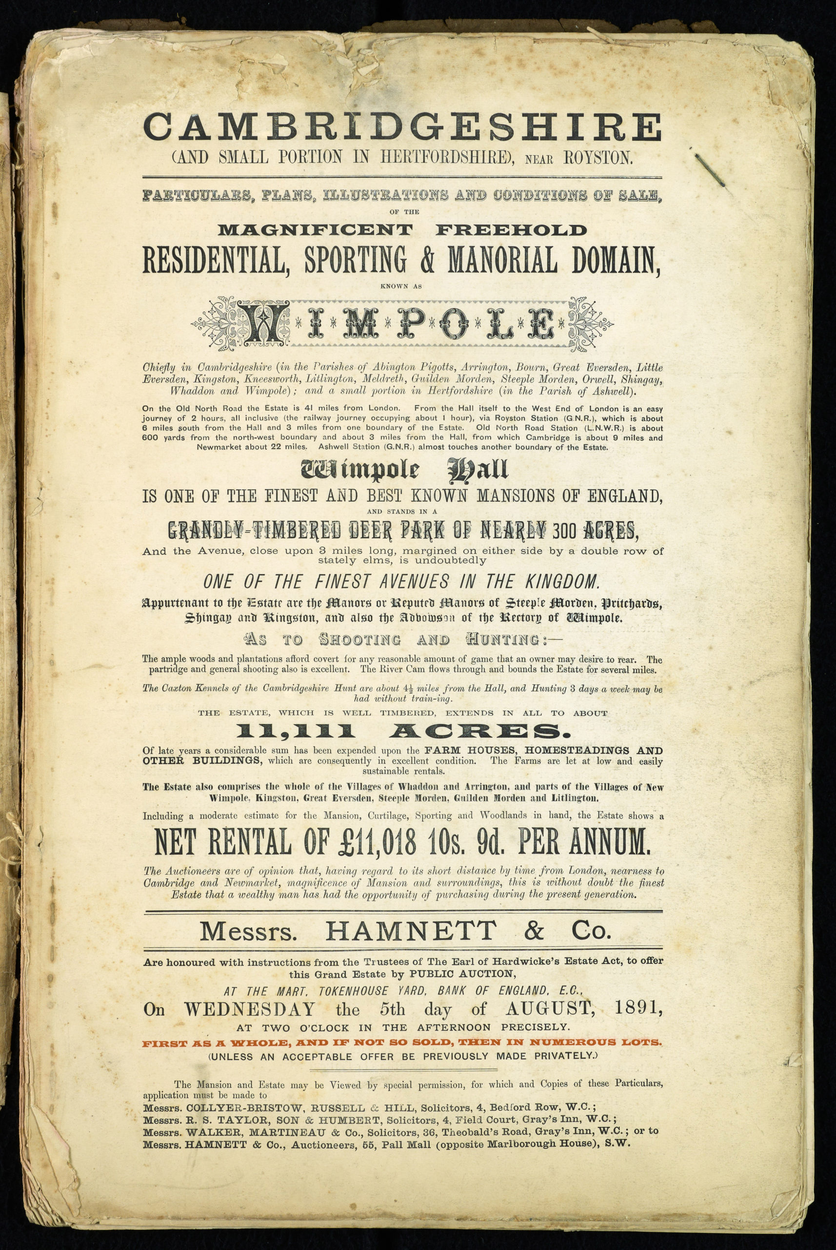
Historically, the farm was part of the Steeple Morden Browis Manor estate and can be assumed to have been generally let to tenants. In 1755 the Earl of Hardwicke purchased Steeple Morden manor and this farm became part of his Wimpole Estate.
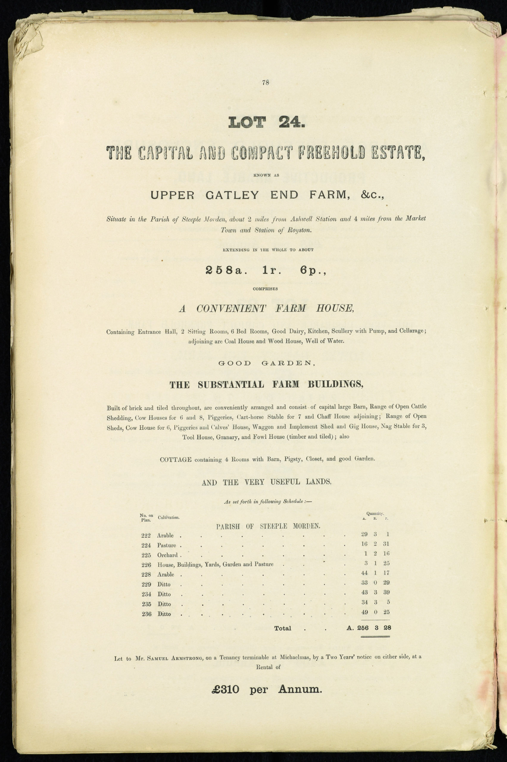
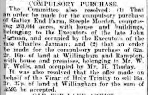
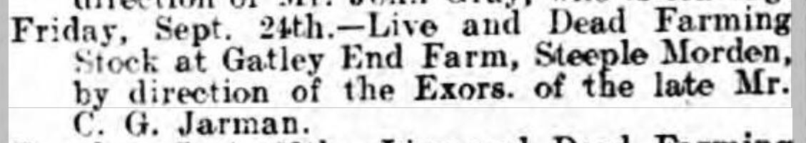
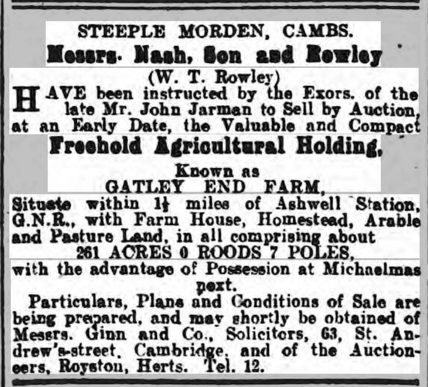
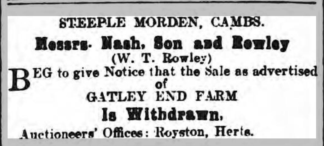
At the 1892 Wimpole Estate Sale this farm was bought by James Odell Vinter, coal merchant of Cambridge. He was non-resident and employed a farm bailiff to run the farm. This was Joel Kingsley from 1905-1915, when Vinter sold the farm to Charles Francis Ansell, butcher of Hitchin, who was also non-resident and retained the services of Joel Kingsley as farm bailiff.
Owners of Upper Gatley (previous manorial owners not included)
| Dates | Owners | Notes |
| 1755-1892 | Earl of Hardwicke | |
| 1892-1915 | James Odell Vinter | Of Cambridge coal merchant |
| 1915-1929 | Charles Francis Ansell | Of Hitchin butcher |
| 1929-1938 | Edward Ansell | |
| 1938-1981 | George Andrew Elliott Smyth | |
| 1981-Today | Kitely family |
Tenants of Upper Gatley
| Dates | Tenants | Notes |
| 1810-1817 | Edward Hall senior | |
| 1818-1845 | Thomas Hall | |
| 1845-1869 | Samuel Walbey | |
| 1869-1882 | Frederick Stokes | |
| 1882-1889 | John Dew | |
| 1890-1897 | Samuel Armstrong | |
| thereafter in hand |
Extent of Farm in 1839
The Tithe Apportionment and Map dated 23 February 1839 describe in some detail the layout and land use on the farm. The owner was the Earl of Hardwicke and the tenant Thomas Hall.
| Ref No | Description | Cultivation | Extent
A. R. P. |
| 162 | Gatley End Close | Arable | 1 3 22 |
| 163 | Upper Gatley End Homestead | 1 3 34 | |
| 163 | Wilkins Pightles | Pasture | 4 2 4 |
| 167 | Ox Close | Pasture | 7 1 37 |
| 169 | Horstley | Arable | 14 3 34 |
| 170 | Fox Holes | Arable | 17 3 13 |
| 199 | Pightle | Pasture | 17 2 14 |
| 200 | Blind Feet Shot | Arable | 43 1 6 |
| 201 | Home Field | Arable | 42 3 8 |
| 202 | Middle Field | Arable | 41 1 7 |
| 203 | High Field | Arable | 36 1 5 |
| 237 | Grove Field | Arable | 15 1 22 |
| 238 | Grove Field | Arable | 14 3 18 |
| TOTAL | 260 0 24 |
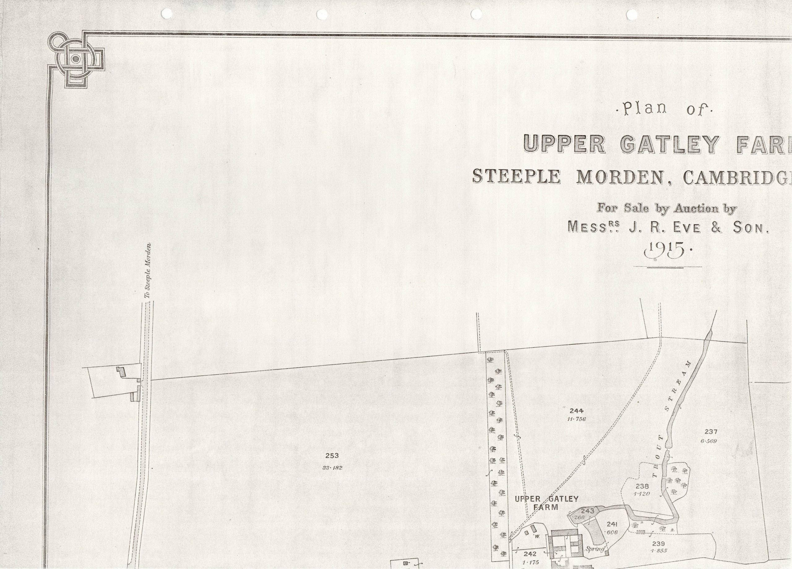
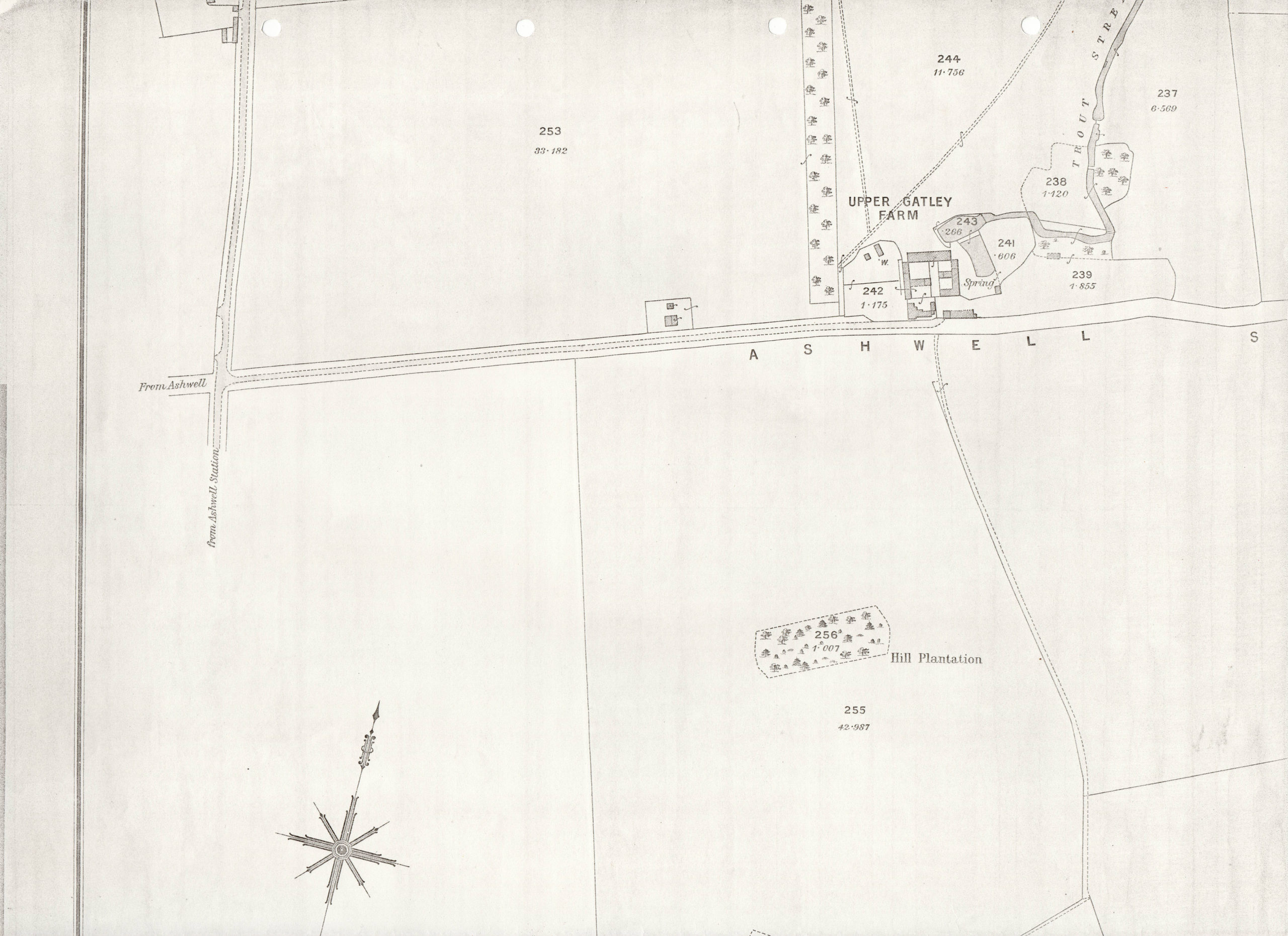
Upper Gatley Farm Extent Tithe Map 1839
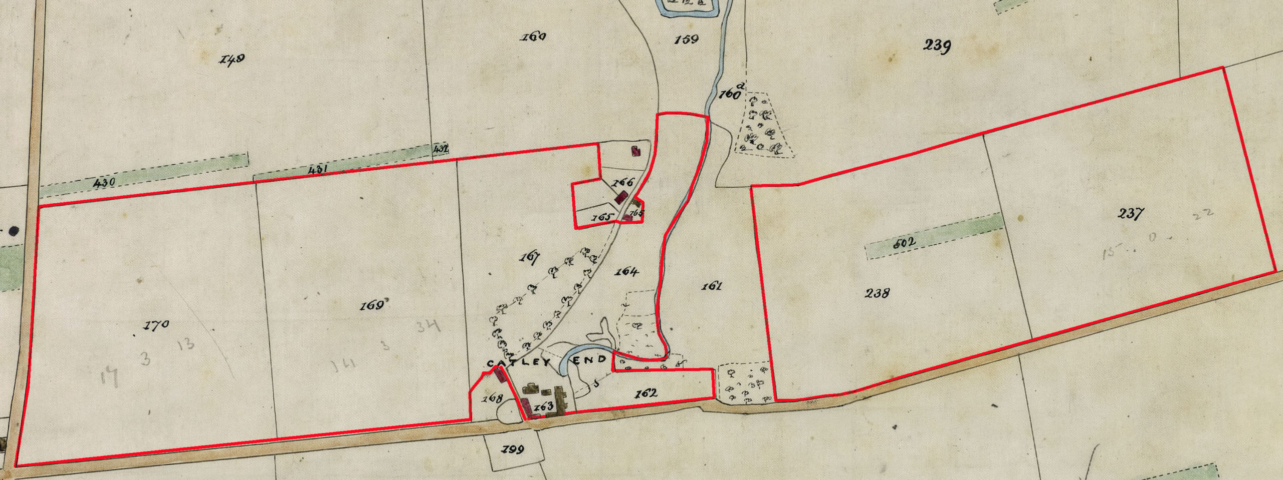
This is the land that lay north of Ashwell Street
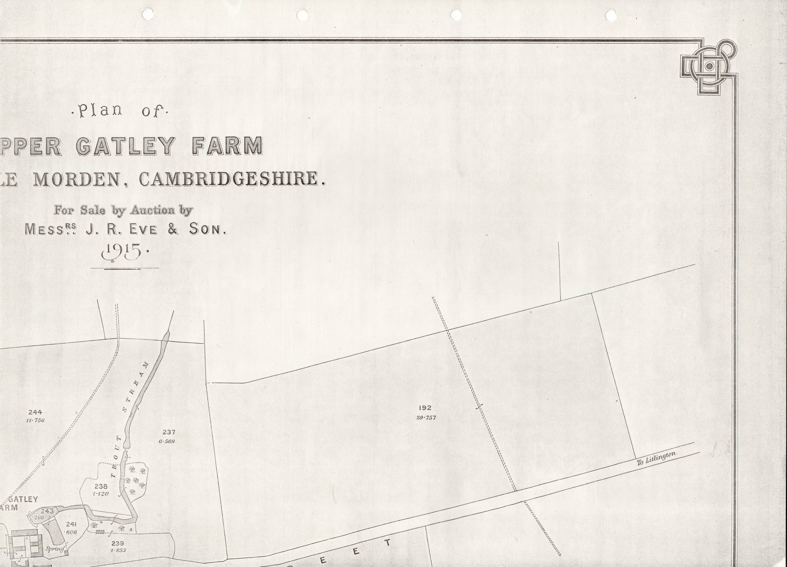
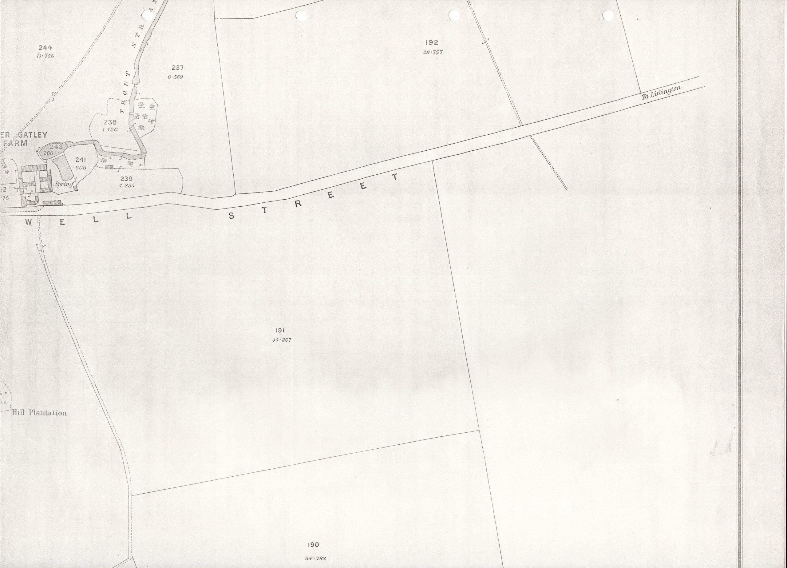
Upper Gatley Farm Extent Tithe Map 1839
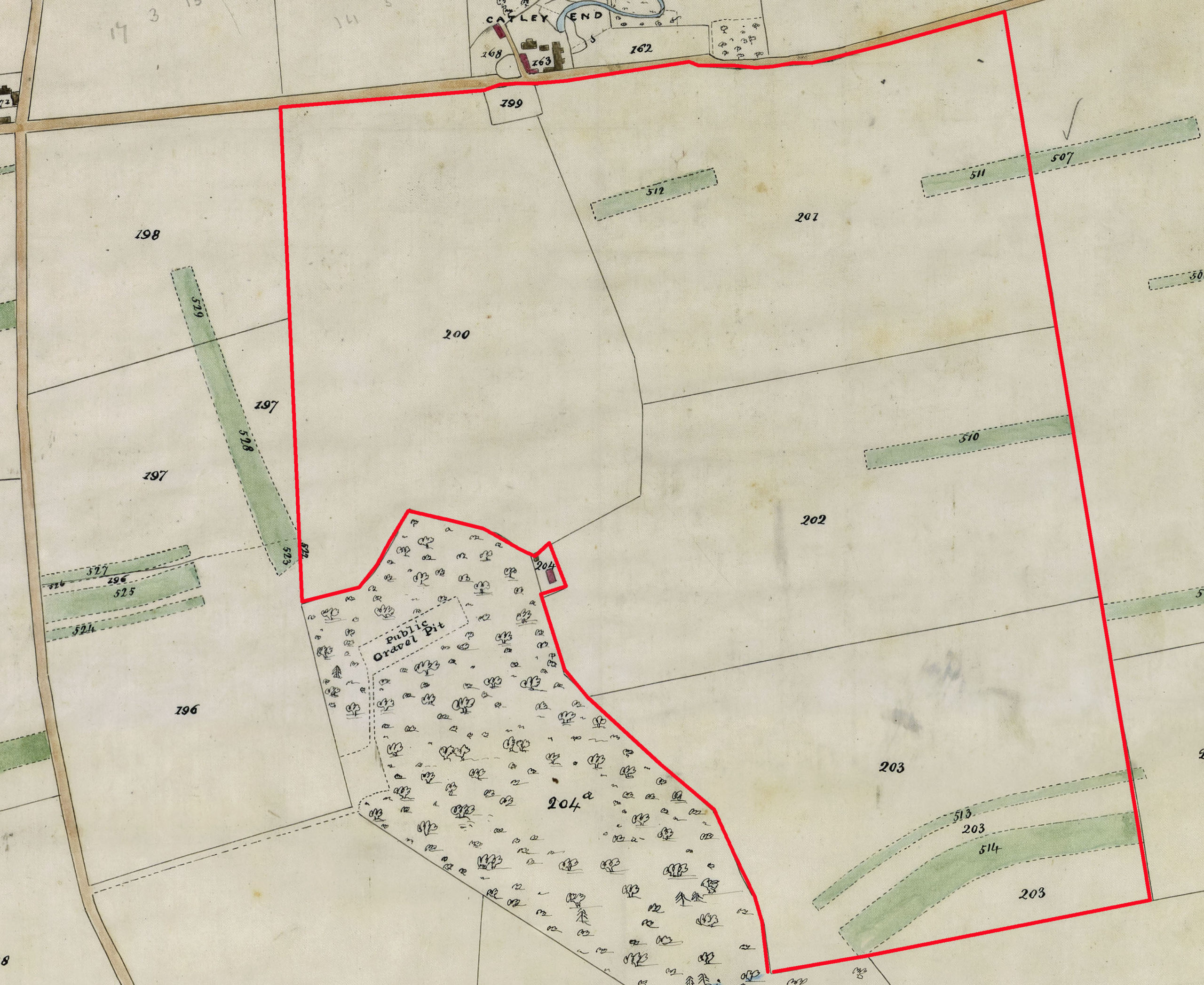
This is the land that lay south of Ashwell Street
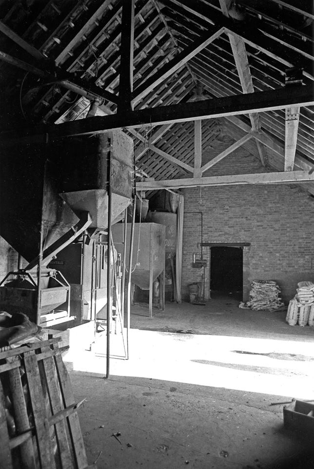
Click on any image below to view. Click again to enlarge. Drag to view entire image.
Photographs & Maps

Sale Particulars


Newspaper Reports
Last Updated on May 13, 2025